


Services Overview
Offshore Survey & Positioning Services
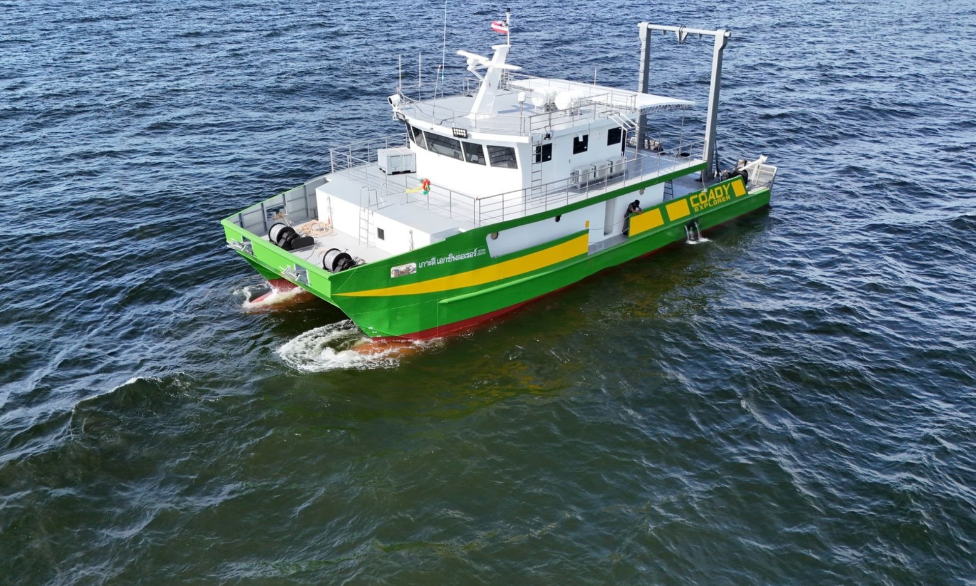
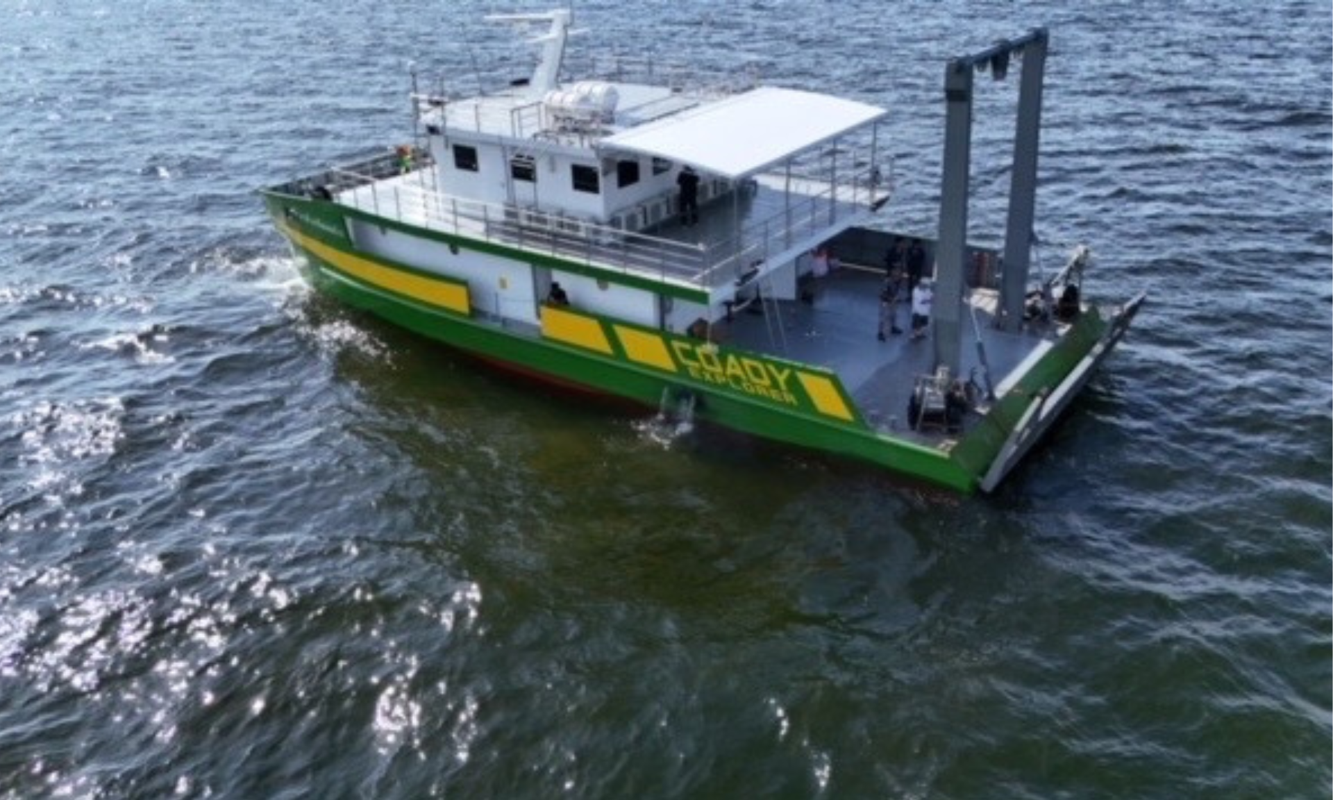
M.V.M. Surveys (Thailand) Co., Ltd. provides marine geoscience, hydrographic, and positioning services supporting offshore Oil & Gas operations—covering hazard assessment, rig moves, and high-resolution seabed mapping.
Debris & Hazard SurveysDecommissioning & Pre-Drilling
Rig Move SupportPre-move / Transit / Post-move
Hydrographic MappingBathymetry / SSS / SBP / Mag
Service Categories
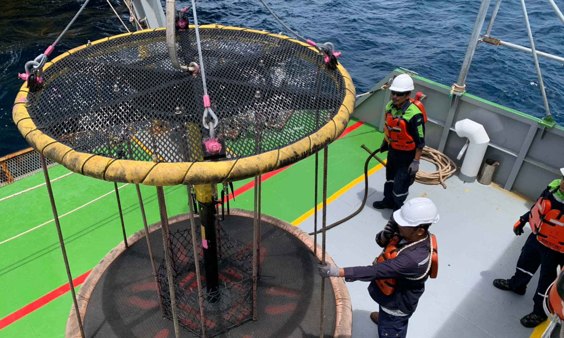
Debris Survey
Rig Move Survey
Hydrographic Survey
Geohazard
Positioning
Debris Survey
In the oil and gas industry, a debris survey primarily refers to a marine geophysical and visual survey
conducted to identify and map man-made solid materials on and below the seabed, particularly in areas near offshore infrastructure.
Purpose & Methodology
The purpose and methodology of these surveys typically fall into two main categories:
- Decommissioning and Clearance Surveys — performed when an oil and gas field reaches the end of its operational life.
- Pre-Drilling (Site/Hazard) Surveys — conducted before drilling or construction activities begin to reduce seabed risk.
Typical deliverables: debris/hazard maps, target lists, anomaly interpretation,
recommended clearance zones, and verification results after removal (if applicable).
Pictures of Debris Survey
 Debris Survey
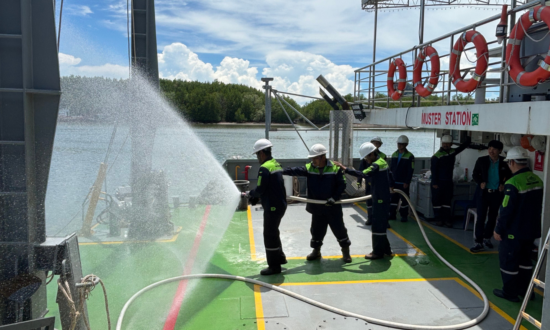
 Field Work
 Seabed Check
Decommissioning
Clearance
Pre-Drilling
Hazard / UXO
Next: Rig Move Survey →
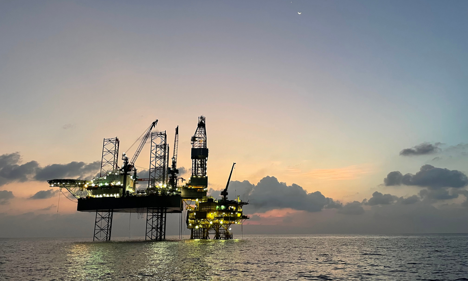
Marine Survey for Rig Move
Marine surveys are an essential, mandatory, and safety-critical component of any offshore rig move,
particularly for jack-up rigs—ensuring foundation integrity and safe positioning at the new location.
3 Main Phases
The surveys involve three main phases:
- Pre-Move Site Investigation
- Transit and Positioning
- Post-Move Verification
Focus: safe tow route planning, anchor patterns, positioning QA/QC,
and verification that the rig is correctly set up at the intended coordinates.
Pictures of Rig Move Activity
 Transit
 Positioning
 Verification
Jack-up Rig
Tow Route
Anchor Pattern
QA/QC
Next: Underwater Geographical Survey →
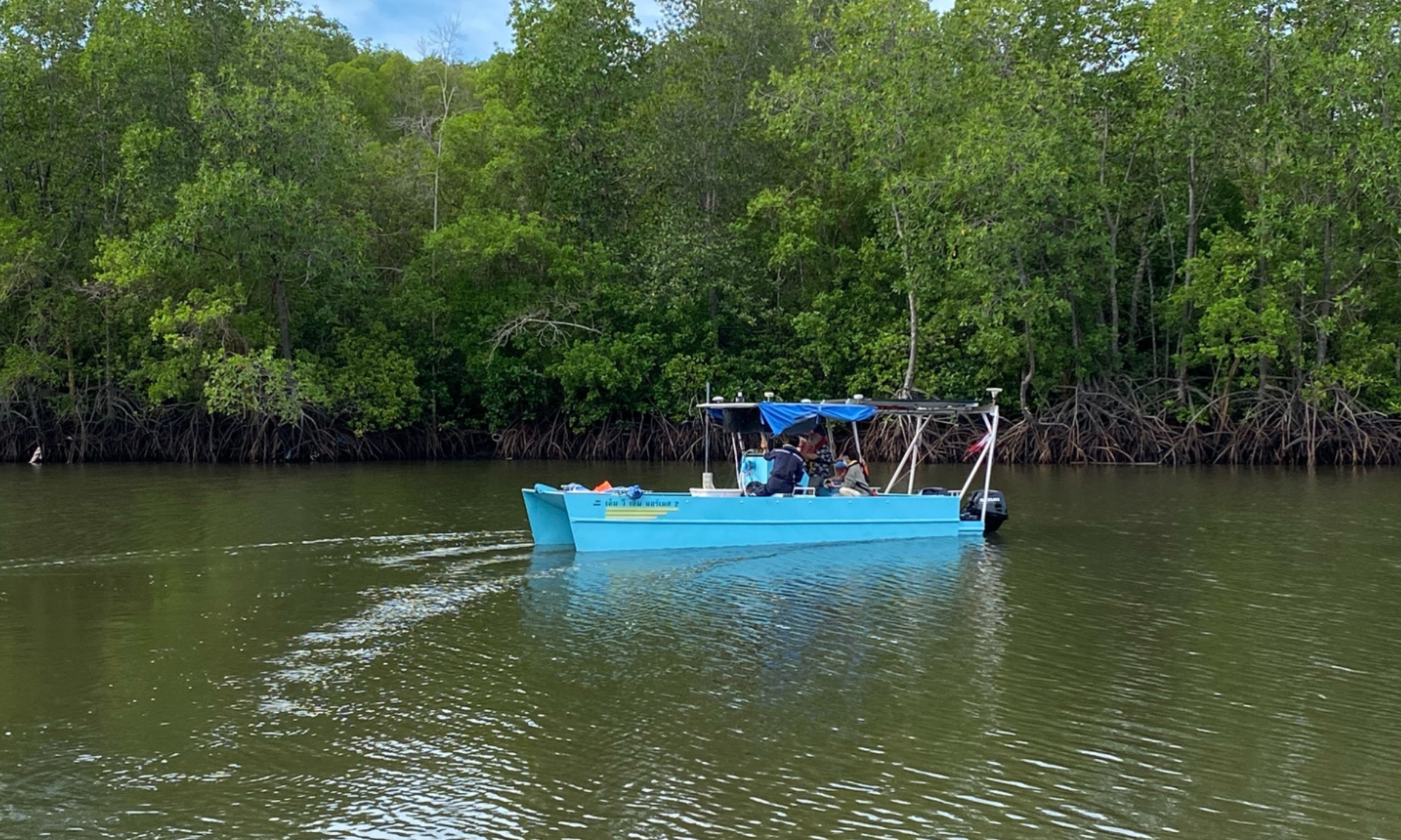
Underwater Geographical Survey
An underwater geographical survey (marine/hydrographic survey) precisely measures and describes
water bodies and the underlying seabed—mapping depths, contours, subsurface geology, and natural/man-made features.
Core Components & Purposes
The survey is a critical initial step for almost all marine activities, including:
- Safety and Navigation (Hydrography) — bathymetry and hazard identification for accurate nautical charts.
- Infrastructure Development — data for offshore structures and subsea installations.
- Resource & Environmental Assessment — seabed characterization for resources and ecological studies.
Supports: platforms & pipelines, subsea cables, wind farms, ports/jetties,
bridge foundations, and exploration planning.
Pictures of Underwater Survey
 Bathymetry
 Side Scan
 Sub-bottom
Hydrographic
Bathymetry
Seabed Imaging
Geohazard
↑ Back to Top Services