Survey Objectives
Geohazard Identification
Detect shallow gas pockets, fault lines, and unstable slump areas that could cause blowout or structural collapse.
Engineering
Design
Provide data for foundation engineering — pile depths, slope stability, and load-bearing capacity analysis.
Infrastructure
Mapping
Locate existing pipelines, cables, and shipwrecks to ensure safe clearance (typically 50m–500m).
Stratigraphic
Correlation
Map geological layers to understand soil type, thickness, and load-bearing capacity for foundation design.
Benthic / Habitat
Mapping
Identify sensitive environmental areas — coral reefs, seagrass — to avoid ecological damage during installation.
Methodology by Equipment
Three complementary acoustic systems work together to provide a complete picture of the seabed environment.
System A
Sub-Bottom Profiler (SBP)
“The X-Ray”
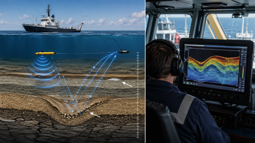
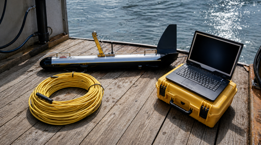
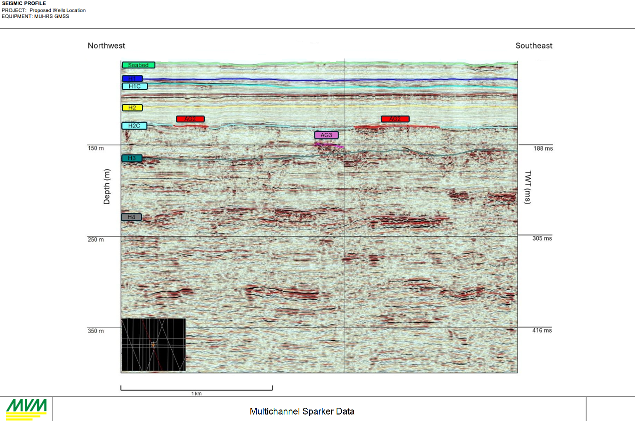
Penetrates below the seafloor into sediment layers, revealing geological structures, buried channels, and potential geohazards. The Geo-Spark 1000 PPS Sparker achieves penetration up to 400ms below the seabed with vertical resolution under 30cm.
System B
Side Scan Sonar (SSS)
“The Camera”
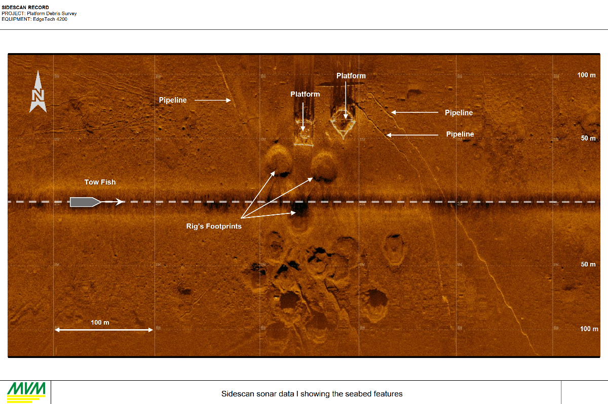
Creates a photo-quality map of the seabed surface, identifying debris, natural features, and infrastructure with high-resolution acoustic imagery across the full survey corridor.
System C
Multi-Beam Echo Sounder (MBES)
“The 3D Sculptor”
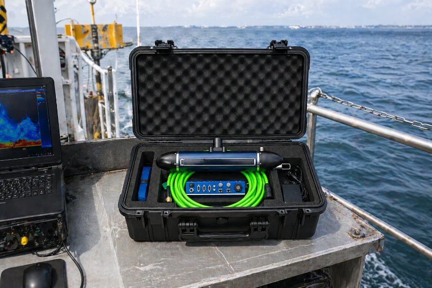
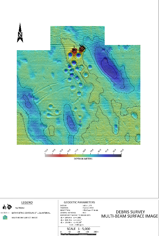
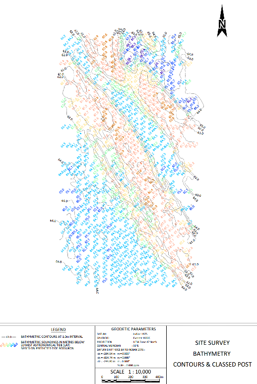
Provides 100% coverage bathymetry and topography of the seabed, creating a detailed three-dimensional model that reveals slopes, depressions, and elevated features across the entire survey area.
System D
Single Beam Echo Sounder (SBES)
“The Yardstick”
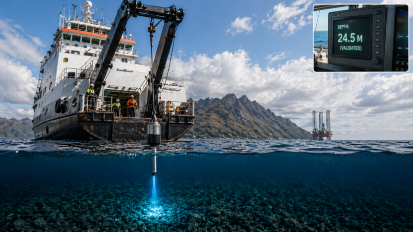
Delivers vertical depth accuracy and system calibration. Provides the precision reference line against which all other bathymetric data is validated and quality-checked.
Report & Charting Samples
Examples of the interpreted data, charts, and engineering assessments MVM delivers from geophysical site surveys.
Read for your next survey?
Our team can mobilize quickly with the full suite of survey equipment on our vessels.