
Methodology by Equipment
Three complementary acoustic systems work together to provide a complete picture of the seabed environment.
Acoustic Tracking
Underwater Positioning (USBL)
An Underwater Positioning Service using USBL (Ultra-Short Baseline) is the industry-standard method for tracking subsea assets in real-time. Unlike GPS, which cannot penetrate water, USBL uses acoustic pings to calculate the position of ROVs, divers, or equipment relative to a surface vessel.
Passive Detection
Magnetometer Survey
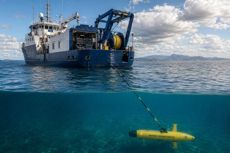
A Magnetometer Survey is a passive geophysical method used to detect and map ferrous (iron or steel) objects on or below the seabed. It complements acoustic methods by finding objects that are invisible to sonar because they are buried beneath sediment.
Need a specialized survey solution?
Our technical team can advise on the right combination of survey methods for your specific project requirements.