Survey Objectives
Safety of
Emplacement
Confirm the seabed is free of man-made debris (cables, anchors, lost tools, shipwrecks) or natural hazards (boulders, reefs) that could damage rig spudcans.
Bathymetric
Verification
Obtain high-precision water depth measurements to calculate the required leg extension and air gap for safe rig jacking.
Seabed
Morphology
Map the slope and evenness of the seafloor to prevent the rig from sliding or experiencing uneven leg loading during operations.
Infrastructure
Identification
Locate and mark existing subsea pipelines, wellheads, and spudcan holes (craters left by previous rigs) within the survey area.
Methodology by Equipment
Three complementary acoustic systems work together to provide a complete picture of the seabed environment.
Equipment A
Side Scan Sonar (SSS)
“The Eyes”
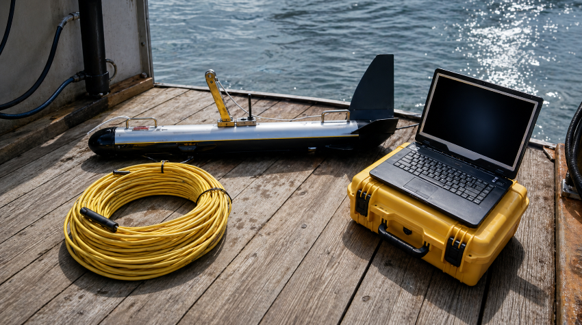
Provides a high-resolution, photo-like image of the seabed to detect objects, debris, and surface features. The EdgeTech 4200 FS captures detailed acoustic imagery across the full survey corridor, identifying anything from small anchor chains to large shipwreck sections.
Equipment B
Multi-Beam Echo Sounder (MBES)
“The 3D Mapper”
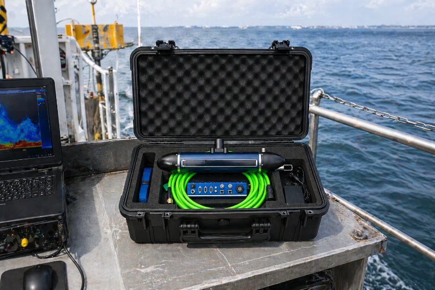
Provides full-coverage 3D bathymetry and detects standing debris that rises above the seabed. The PING 3DSS-IDX creates a detailed three-dimensional model of the entire survey area, revealing slopes, depressions, and elevated obstructions.
Equipment C
Single Beam Echo Sounder (SBES)
“The Validator”
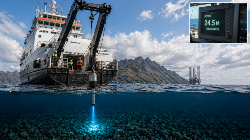
Provides highly accurate vertical depth directly under the vessel and validates MBES data. The Kongsberg EA400 delivers precision depth measurements critical for calculating exact rig leg extension requirements.
Need a debris survey before your next
rig move?
Our team can mobilize quickly with the full suite of survey equipment on the Coady Explorer.