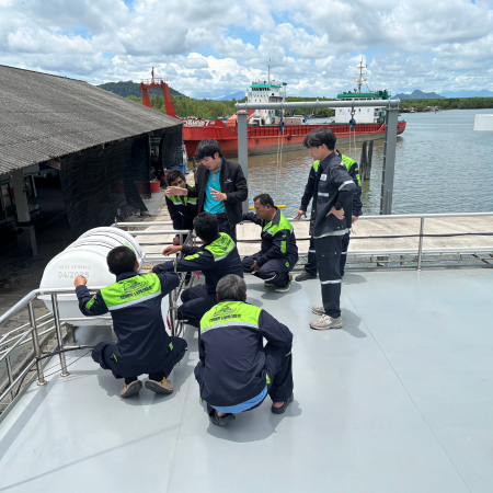
Leading-Edge Survey Technology
MVM Surveys deploys state-of-the-art geophysical and hydrographic equipment to deliver highly accurate and efficient marine survey solutions—meeting stringent offshore industry standards.
High-Resolution Side-Scan Sonar
e.g., EdgeTech 4200-FS
Produces detailed acoustic imagery of the seabed to identify small objects and anomalies, including debris, subsea cables, and sensitive features requiring clearance verification.
- Seabed imaging & target identification
- Debris / hazard mapping & clearance support
- High-confidence anomaly review
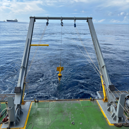
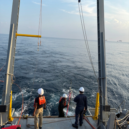
Precision Positioning Systems
e.g., Sonardyne & AAE USBL
Ultra-Short Baseline (USBL) positioning provides reliable real-time tracking of tow fish and ROVs, ensuring all acquired datasets are precisely georeferenced for confident decision-making.
- Real-time tow-fish / ROV tracking
- Accurate georeferencing for survey deliverables
- Supports complex offshore operations
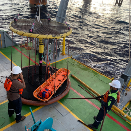
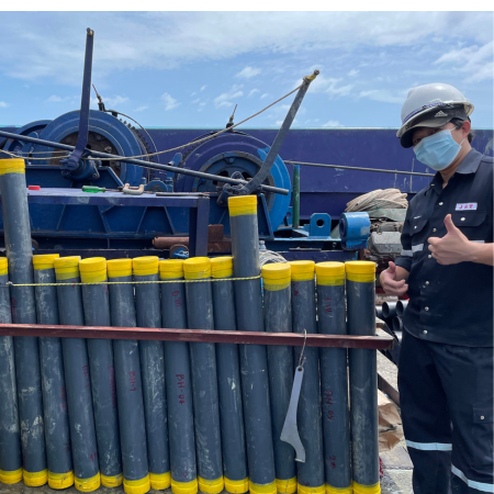
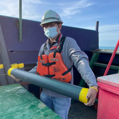
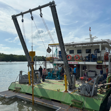
Specialized Seabed Coring Tools
e.g., Osil Gravity Corer
Retrieves seabed and sub-surface sediment samples to validate acoustic interpretation and assess ground conditions—supporting engineering design, installation, and risk reduction.
- Sample recovery for ground-truth verification
- Supports geological & engineering assessment
- Improves confidence in interpretation
High-quality deliverables that minimize risk
By integrating advanced sensors with expert processing and interpretation software, MVM delivers comprehensive outputs that support critical marine decisions across Southeast Asia.